ABOUT
Saw Mill Run Watershed
Prior to the middle half of the 20th century the landscape within the Saw Mill Run watershed was quite different than what we see today. The South Hills of Pittsburgh and the upper reaches of the Saw Mill Run watershed were sparsely populated, with homes concentrated in small villages near the entrances to coal mines in the valley bottoms. The hilltop ridges were primarily family-owned farmsteads such as the 300-Acre Knowlson Farm, 20 Acre Anderson Farm, and 33-Acre Abbot Farm in Baldwin. Roads consisted of a patchwork of dirt roads, sometimes barely wide enough for a horse and carriage. Just off present-day Green Tree Road near the intersection of McKinney Lane sat Jacob Haudenshield’s vineyard and farmstead.
Other photos of Banksville Road (1909) and Banksville Elementary School (1929) from the Pittsburgh Historical Society also give a sense of the landscape in the South Hills during this period.
Olmsted’s vision for Saw Mill Run was ignored and flooding not only persisted but worsened. On July 27, 1943, with development rapidly increasing in the Saw Mill Run watershed, the largest flood on record occurred. According to a 1992 Army Corps of Engineers report, upwards of 5 to 8 inches of rainfall fell in parts of the watershed in two hours. News clippings of the event reported, “the stream rose 18 feet over normal levels, carrying away huge sections of the banks and sending trees and utility poles swirling along its course.” The storm “tore out 10 small bridges, overturned a garage, swept at least one house from its foundations, and poured eight feet of water into West End homes.” Edwin L. Schmidt, district engineer for the State Highway Department remarked about Saw Mill Run to the Pittsburgh Press stating, “there’s nothing new about its rampages, Saw Mill Run has been a bad little creek for a long time, flooding cellars, destroying gardens, and forcing people out of their homes.”
The Sawmill Run valley, from the West End to Fairhaven and possibly beyond, offers a park and parkway opportunity which should not be neglected until commercial development becomes a serious stumbling block to its realization. It is an interesting valley of varying width and form, enclosed by high, steep banks, occasionally wooded; in some parts it is wide enough only for a drive, while in others large, flat meadows make ideal places for play. And Sawmill Run itself, when it is no longer used as an open sewer, will be an additional element of park value. Surrounded as it is by land accessible to the city and reasonably adapted to residential use, this valley seems an unusual opportunity for effective park service. In taking it for park use, Shalerville and the Bell Tavern settlement would, of course, be excepted; otherwise, the holdings should be continuous from Temperanceville to Fairhaven, and such scattered buildings as would in any way impair the value of the park should eventually be removed. A boulevard thoroughfare should extend the length of the valley, serving not only as a cross-town connection between important radial thoroughfares, but as a link in a circumferential parkway system.
— Frederick Law Olmstead Jr., 1910
A History of Flooding and Development
July 1874, The fierce torrents of rain that descended swelled every little tributary to Sawmill Run into a boiling stream, and the accumulated water rushed with maddened irresistible fury down the valley, sweeping everything before it. ….Several lifeless bodies have already been found, and from twenty-five to thirty persons are missing.
August 1898: Three children drown during flash flood event on Saw Mill Run.
August 1930: The route for modern day Saw Mill Run Boulevard is dedicated.
1939: Saw Mill Run Boulevard floodplain is “93% Developed
1943: Saw Mill Run “Flood of Record”
A Look to the Future
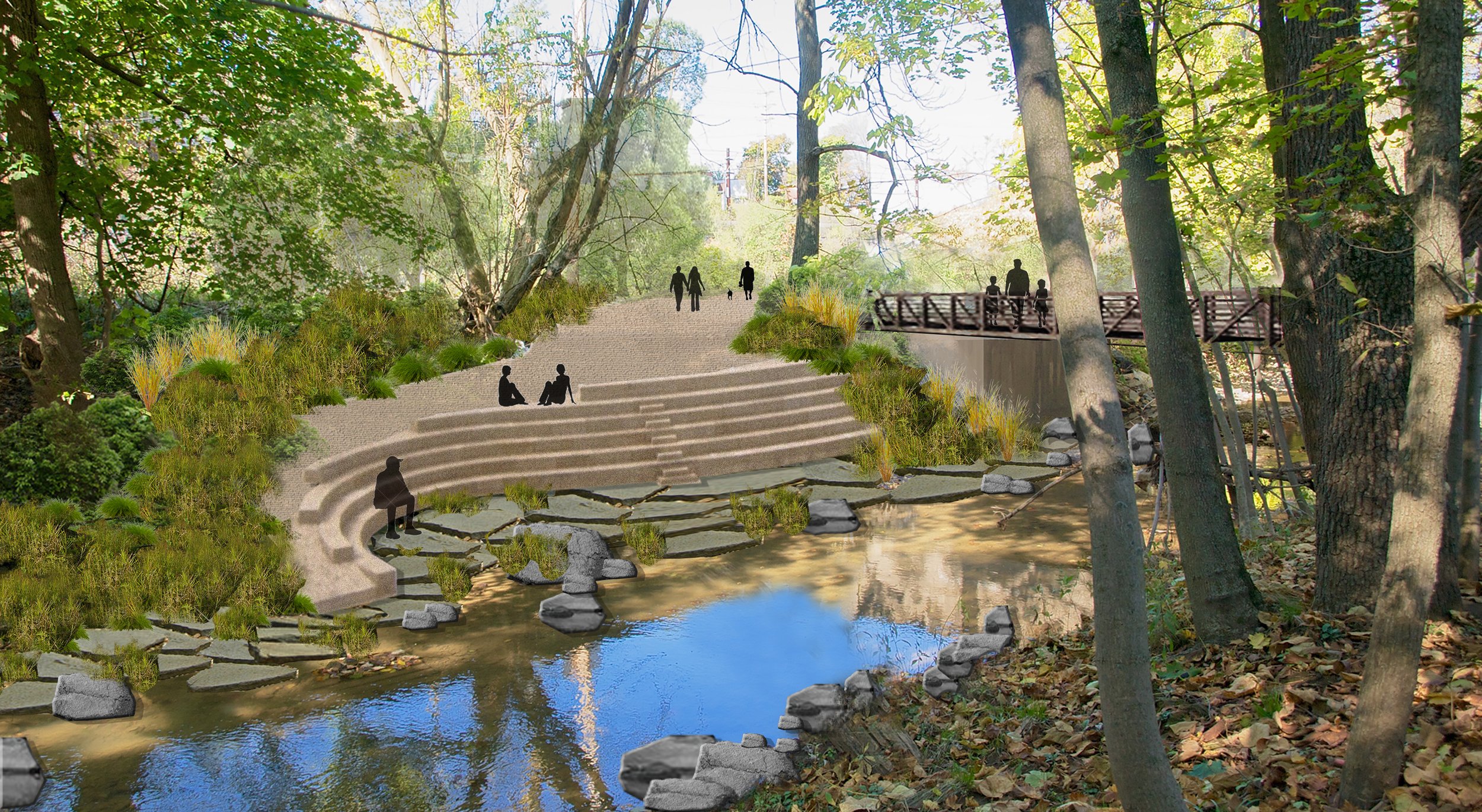
Our vision reaches into the past to fulfill Frederick Law Olmsted’s concept of a Green Corridor for Saw Mill Run, a future that celebrates the stream, embraces the potential for vital and resilient development.
Our challenge is to shift the current perception of the stream as a deterrent to transportation and development into one that embraces the stream as a regional asset. We believe that if more people could see the stream in this new light – as a catalyst for change - we could transform this blighted corridor into a linear park that connects the southern neighborhoods to downtown Pittsburgh’s economic and cultural assets.
While it is unlikely that Olmsted Jr.’s vision will ever be fully realized, the Saw Mill Run Master Site Development Plan aims to reinvigorate his concept for the corridor in the context of today’s challenges and opportunities.


